Fibre
nearbyThere is no line on the plot itself yet: the land registry lists it as undeveloped. The nearest homes with fibre up to 1000 Mbps are about 630 m away. Connection of the new building is confirmed with the operator.
Finestrat, Alicante · Calle Reyes Católicos
About the project
Google Maps: by car in normal traffic, nearby places on foot. Checked on 18.10.2026.
Gallery
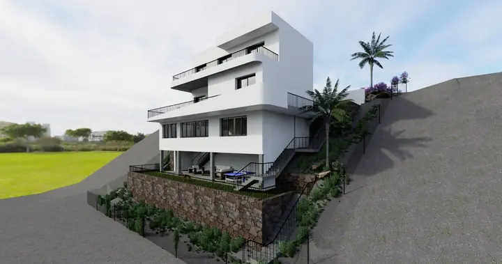
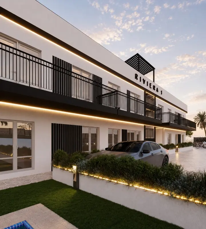
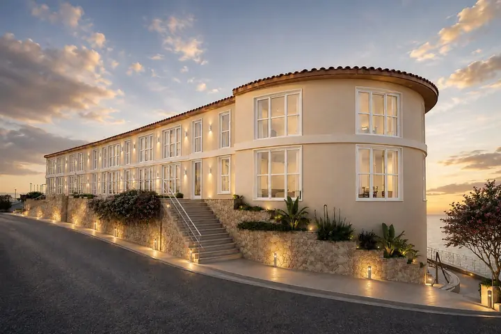
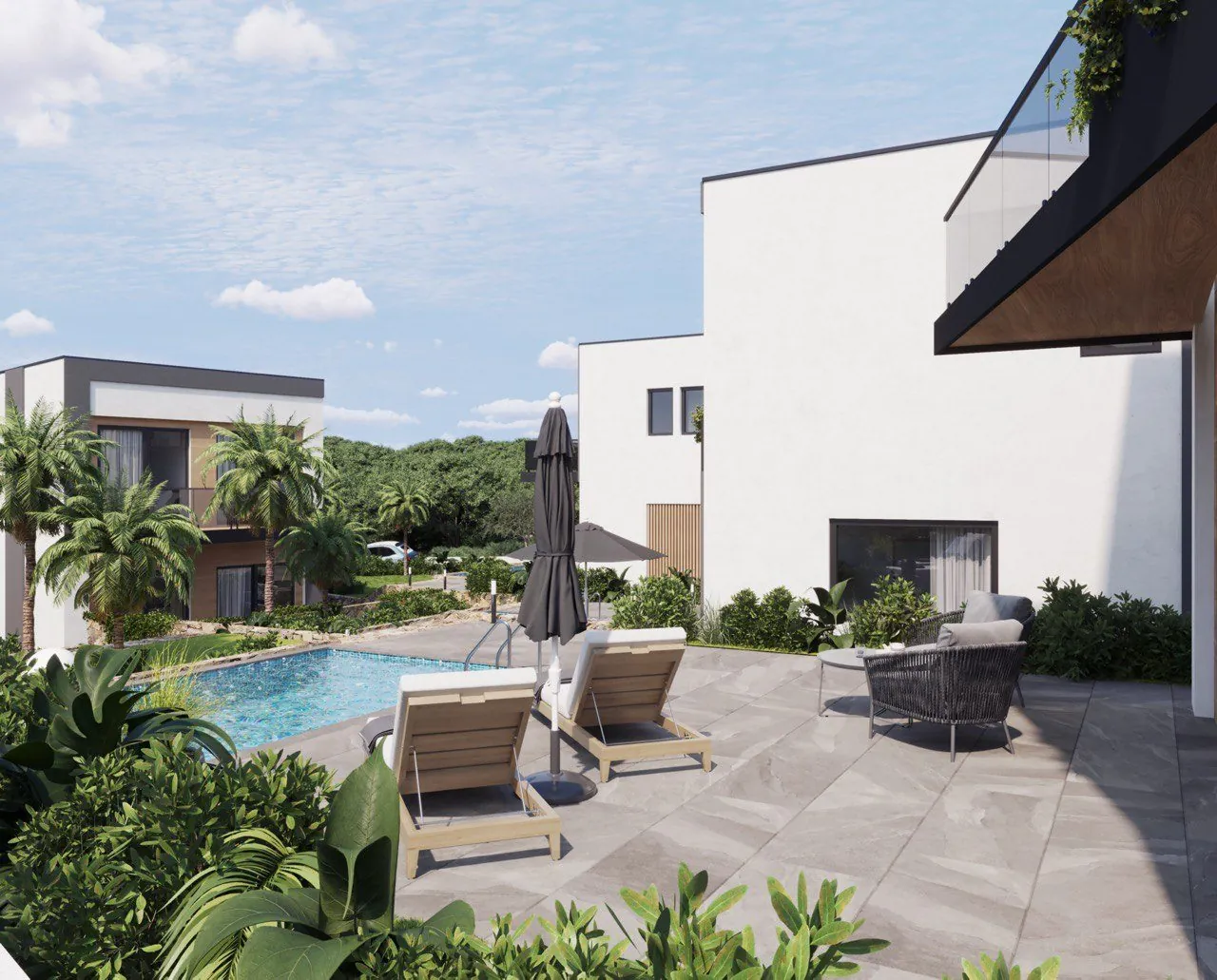
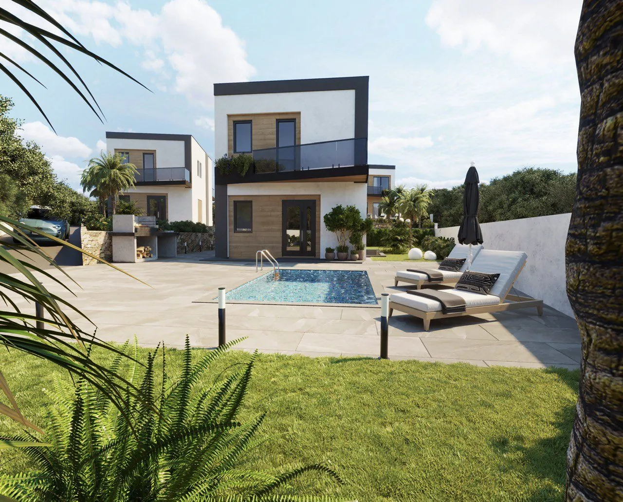
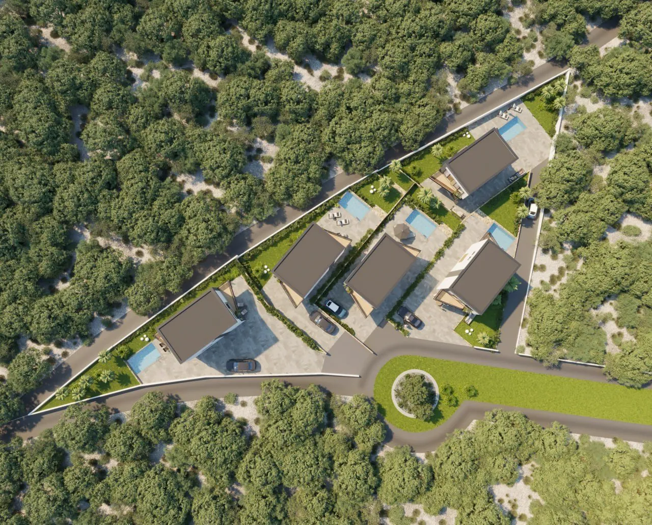
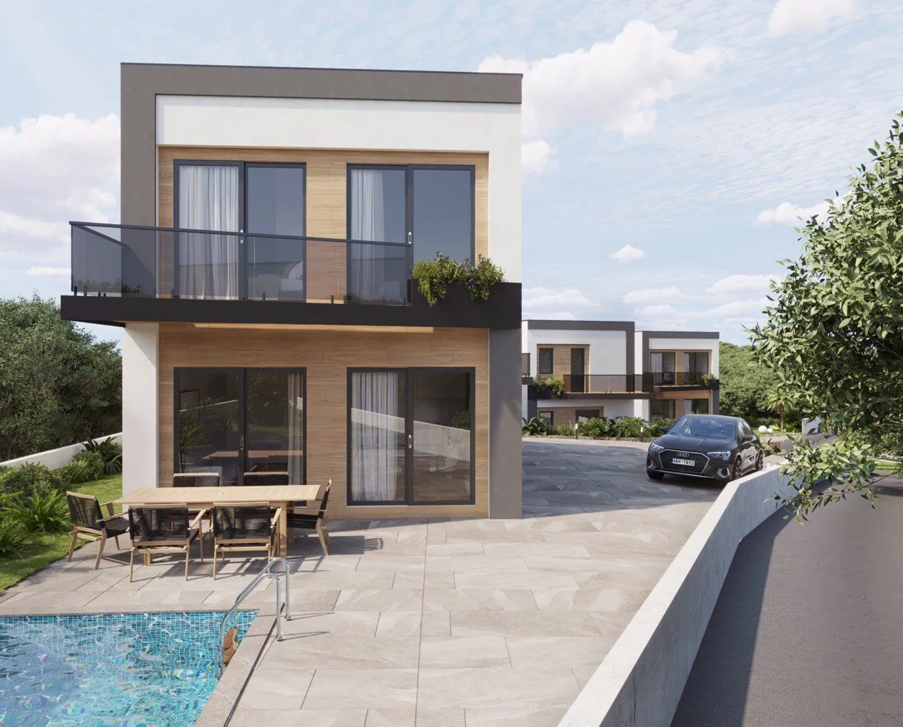
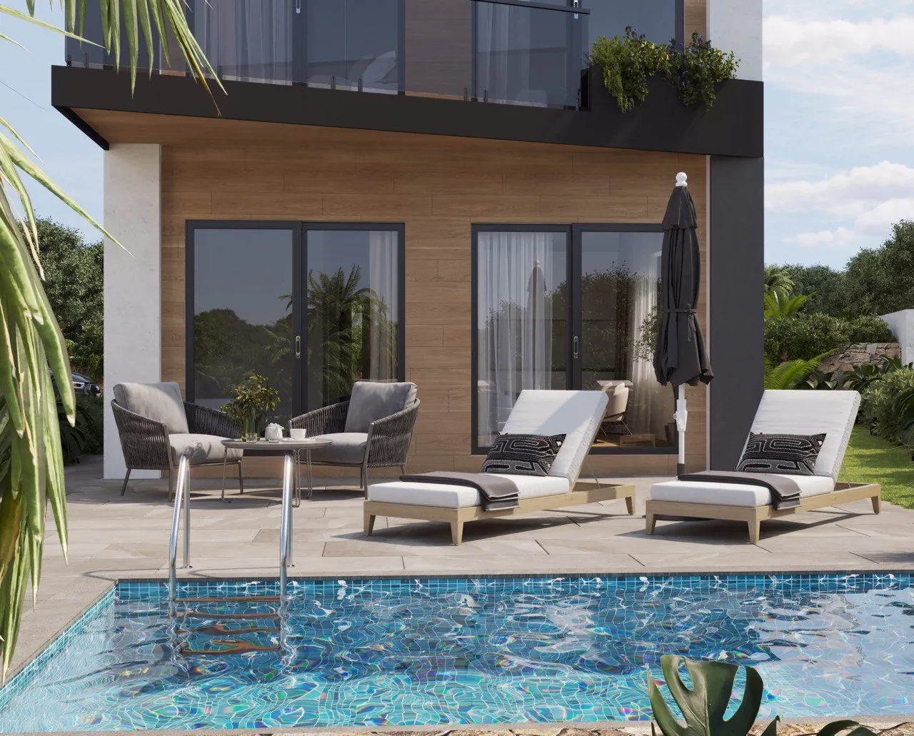
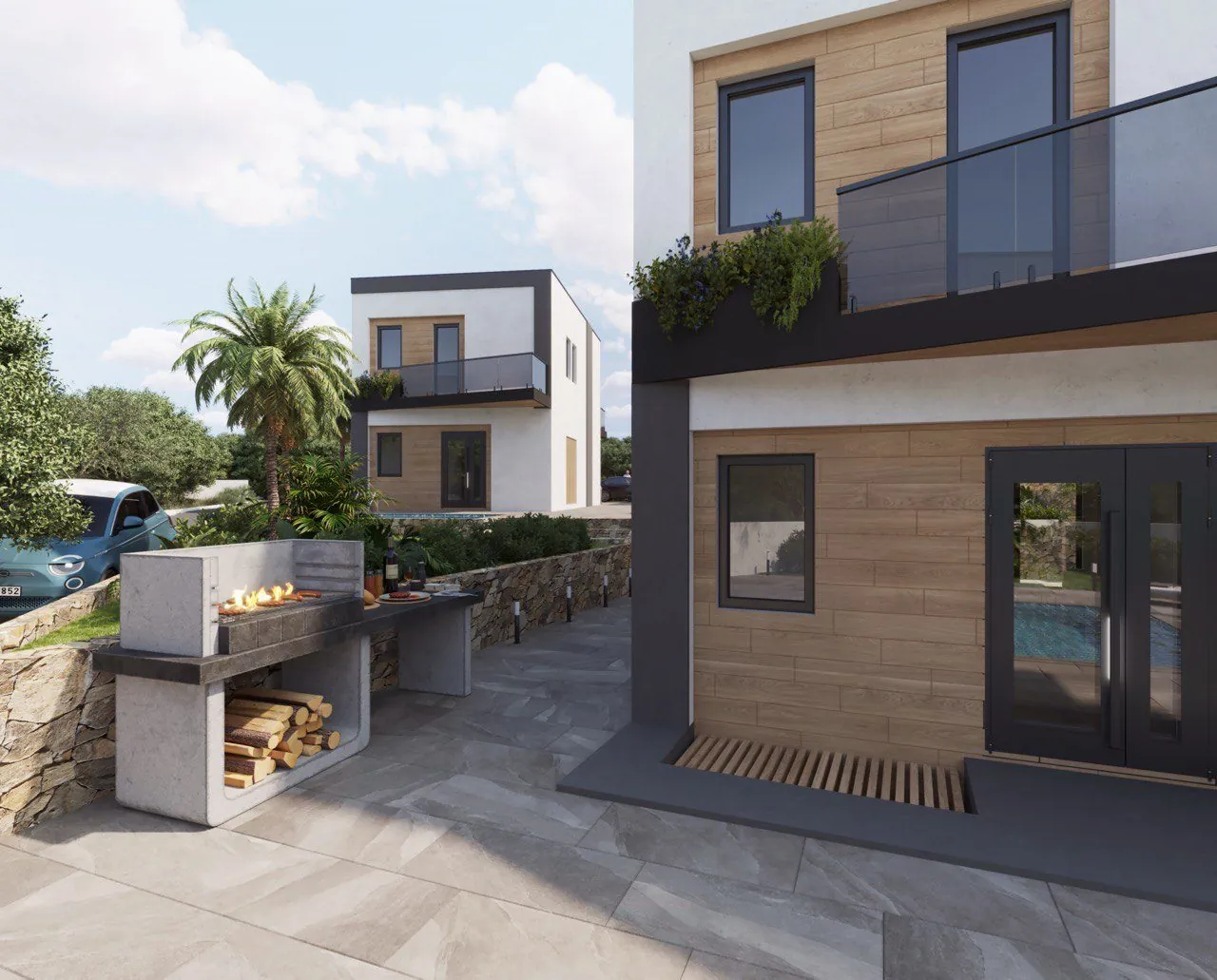
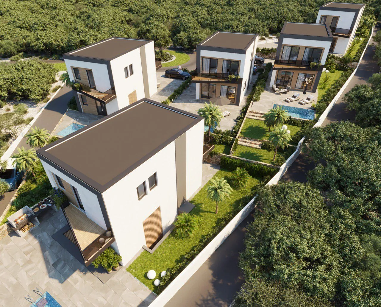
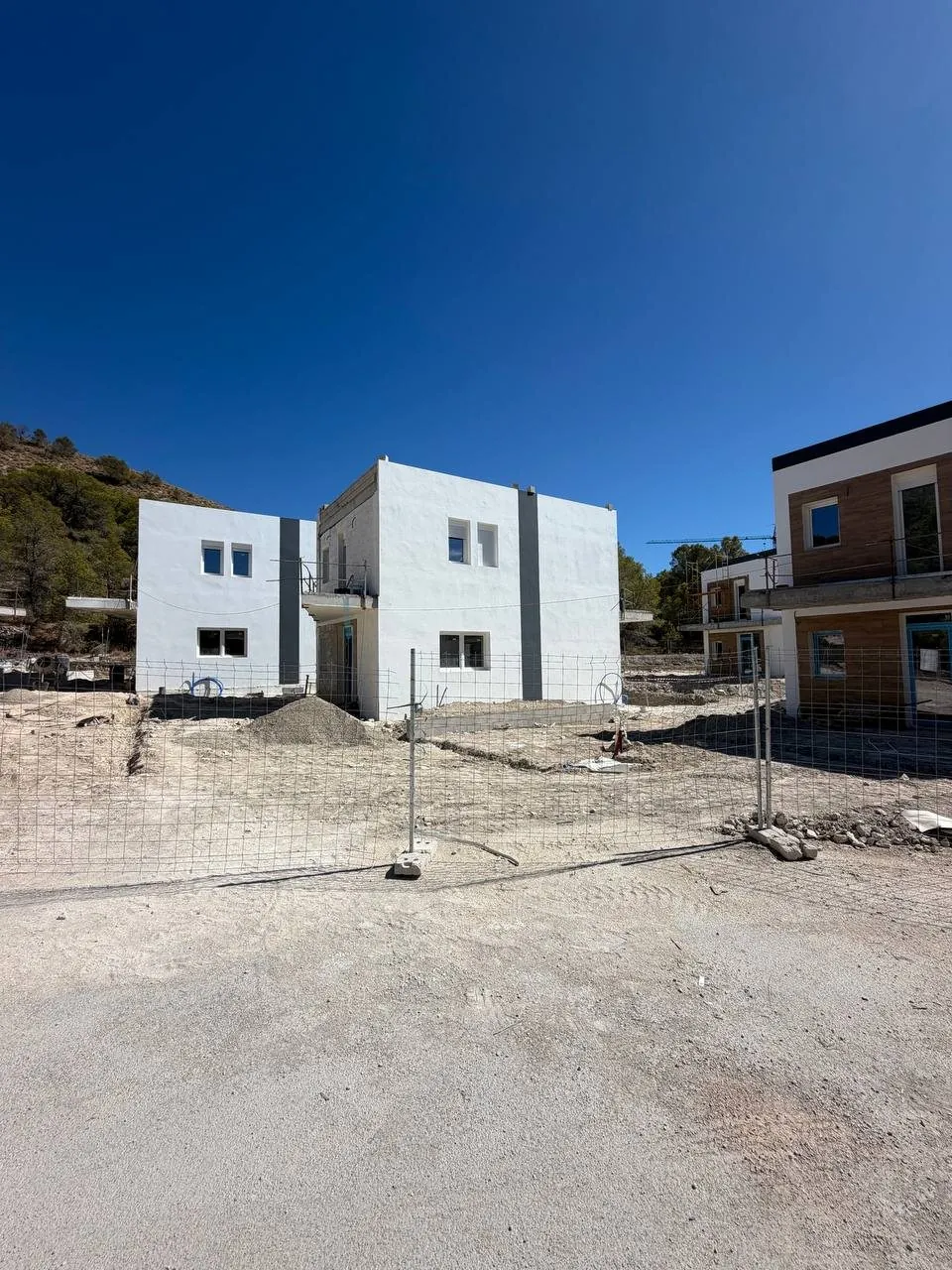
Project renderings and construction photos (August 2026).
Images are for illustration only and do not form part of the contract.
More about the property
Pick a topic to see the details.
Sun
When the sun clears the mountains, when it reaches your terrace and how much energy solar panels would produce.
When the sun actually rises above and sets behind the hills, based on the real terrain around the property.
of direct sunshine a year is taken by the surrounding hills: about 681 h out of 4462.
The hills noticeably shorten the sunny day. Mostly in the morning: the sun clears the hills after sunrise.
| Date | Sunrise | Sun above the hills | Sun behind the hills | Sunset | Direct sun |
|---|---|---|---|---|---|
| 20 March | 07:05 | 08:38+93 min | 18:44−28 min | 19:12 | 10:06of 12:06 |
| 21 June | 06:37 | 08:04+87 min | 21:03−25 min | 21:28 | 13:00of 14:54 |
| 23 September | 07:50 | 09:23+93 min | 19:28−28 min | 19:56 | 10:06of 12:06 |
| 21 December | 08:15 | 09:37+82 min | 17:33−10 min | 17:43 | 8:00of 9:30 |
Madrid time. Terrain: Copernicus DEM (30 m), point 4 m above the ground; trees and neighbouring buildings are not included.
Calculated from the sun's position over Finestrat. Choose a date, a time and the direction your terrace faces.
Does not account for neighbouring buildings, trees or terrain. Ask a manager about the orientation of a specific home.
How much electricity a rooftop plant on this home would produce, and how much it could save you each year. Output comes from the European Commission’s official PVGIS service, for the property’s coordinates.
Climate
Average temperatures by month, adjusted for the plot's altitude and distance from the sea.
Compared with Benidorm's seafront, it is 0.9° colder on a winter night and 0.2° cooler on a summer day.
Temperature: AEMET 1991–2020 normals for the coast (Alicante station), transferred to the property's location using the ERA5-Land reanalysis for 2015–2024 (Copernicus, via Open-Meteo.com). Hot days, warm nights and frost: 2015–2024 averages. Sunshine and rain: AEMET normals; sea: NOAA OISST off Benidorm, 2021–2025. These are averages: any given year can be warmer or cooler.
Quiet and noise
Based on the official noise maps of roads, railways and airports that Spain reports to the European Environment Agency.
Outside major-road noise zones
According to the official maps, noise from major roads at the home is below 55 dB over 24 hours, the threshold from which the maps mark noise zones. For reference, 55 dB is a calm conversation a few metres away.
Official maps only cover busy roads (over 3 million vehicles a year), railways (over 30,000 trains a year) and major airports. Local streets, neighbours, building work, bars and seasonal noise are not shown: listen to the place yourself at different times of day. Distances to roads are in a straight line.
Noise maps: Spain's strategic noise maps reported to the EEA (Directive 2002/49/EC). Roads: © OpenStreetMap contributors.
Area
The nearest places within 3 km, from OpenStreetMap. Distances are in a straight line.
Connectivity
Fibre, mobile and Starlink satellite internet, based on official coverage data and the real terrain around the property.
There is no line on the plot itself yet: the land registry lists it as undeveloped. The nearest homes with fibre up to 1000 Mbps are about 630 m away. Connection of the new building is confirmed with the operator.
4G from 4 of 4 operators, 5G from 2, up to 100 Mbps as declared by the operators.
The horizon is highest to the east: 18.4° at 0.8 km. Starlink uses satellites above 25°, so the terrain does not block the signal.
Fibre and mobile: Spain's Ministry for Digital Transformation, data as of 30.06.2024; connections made after that date are not included. Terrain: Copernicus DEM (30 m), without trees or buildings. Orbits: the open CelesTrak catalogue.
At this address
Where residents of this address are served by public healthcare and schools.
Based on the official address directory of the Conselleria de Sanitat (Generalitat Valenciana). The property's street is not in the directory yet; the centre is given by neighbouring streets of the same area. The health centre is finally assigned when you register for the SIP health card.
CEIP: nursery and primary school (ages 3–12); IES: secondary school and Bachillerato (ages 12–18). Distances are in a straight line. Finestrat has no IES of its own yet: secondary pupils study in neighbouring towns; Finestrat's first IES is under construction. Places in public schools are allocated by the municipality's admission areas; the area for an address is confirmed when you apply.
Time machine
Drag the slider: on the left, an aerial photo from the chosen year; on the right, today.
Orthophotos: American flight 1956–1957, OLISTAT 1997–1998, PNOA 2005–2017 and current PNOA © Instituto Geográfico Nacional de España (CC BY 4.0).
Fly home
Fly the real route over the real terrain of the coast, the same way you will drive from the airport.
Sierra Verde · 45 min · 61.7 km
The 3D map on real terrain loads when you click (about 1.5 MB)Route: OpenStreetMap roads; travel time: Google Maps. Imagery: PNOA © IGN; terrain: Terrain Tiles (Mapzen, AWS Open Data).
Project enquiry
We will send the catalogue, floor plans and purchase terms, and answer questions about documents and timescales.
Other projects
Finestrat, Alicante
For sale · Under construction